




This summer, Norway’s soccer fans transformed stadium sections into longboats. Packed together, they swayed back and forth to a growing drumbeat, chanting “ro” (literally, “row” in Norwegian) until the whole section moved as one.
Fans dubbed it the Viking Row. What began as a superfan’s pre-match sparked global buzz about Vikings!
While most fans won’t have the chance to visit an authentic Norse settlement, you can embark on journey along Newfoundland’s Viking Trail and experience the rich history of the Norse explorers firsthand!
Newfoundland’s Viking Trail stretches for 489 kilometers up the Great Northern Peninsula, from Deer Lake to L’Anse aux Meadows. It connects two UNESCO sites – Gros Morne National Park (a landscape so unique that NASA studied it before a Mars mission) and the L’Anse aux Meadows National Historic Site (the only confirmed Norse settlement in North America).
The Norse sailors who camped at the wind-swept tip of this peninsula around the year 1000 A.D. didn’t stay long, but they arrived about five centuries before Columbus, and the evidence is still there. Start in Deer Lake and take your time to enjoy the full length of the Viking Trail!
Deer Lake | Gateway to Gros Morne
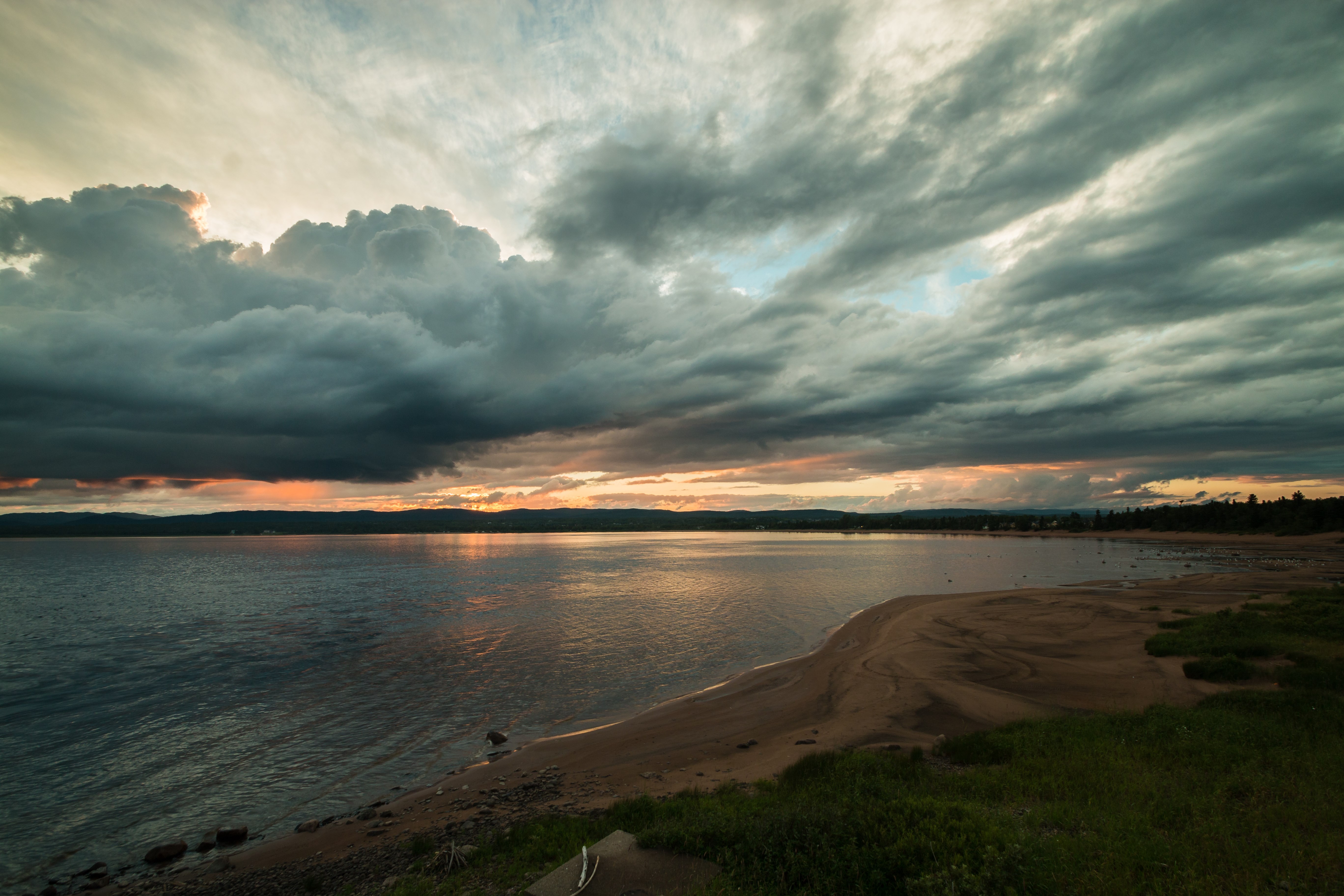
Deer Lake is where Route 1, the Trans-Canada Highway, meets Route 430. The town has a small airport, so if you prefer, you can fly in and rent an RV or vehicle instead of driving in from the mainland.
If you’re coming by road, the Marine Atlantic ferry from North Sydney, Nova Scotia, lands three hours south of Deer Lake at Port aux Basques. Corner Brook, about 30 minutes from Deer Lake, is the last full-service city before the peninsula narrows, so it’s a good idea to stock up if you’ll be camping on the Viking Trail for several days.
From there, it’s about 64 kilometers north on Route 430 before you enter Gros Morne National Park, the first of the trip’s two UNESCO sites. At 1,805 square kilometers, it’s the second-largest national park in Atlantic Canada, recognized for its geology and stunning scenery.
Plan for at least two full days here. Most visitors wish they had three!
The Tablelands
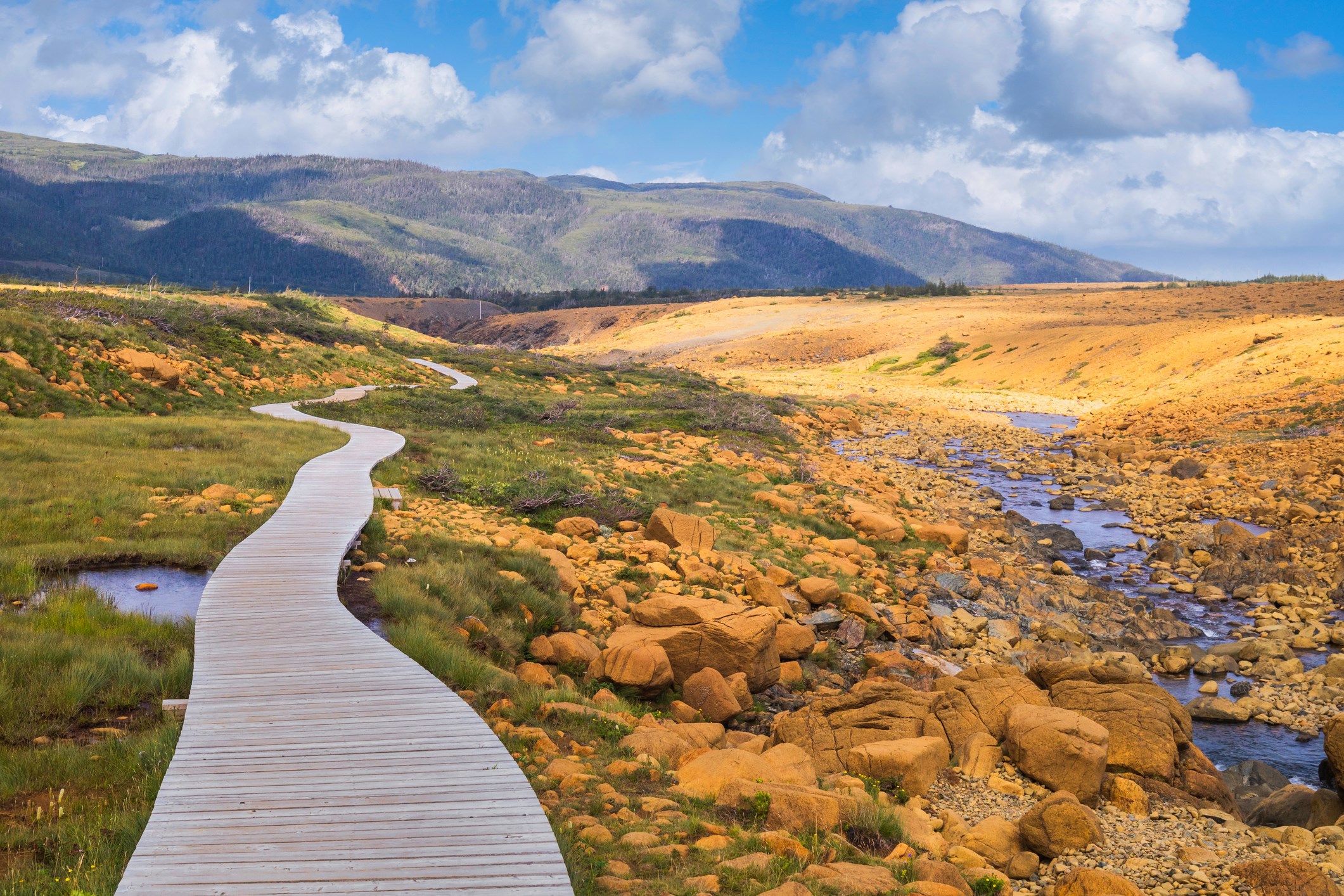
A short detour south on Route 431 takes you to Woody Point and Trout River, home to one of the most unusual landscapes in North America. This area’s centerpiece is the Tablelands, which looks like a piece of Mars – rust-orange, barren, and nearly devoid of plant life – dropped into a green valley.
The rock here is peridotite, formed in the Earth’s mantle beneath an ancient ocean floor and pushed to the surface when two continents collided over 460 million years ago. You can literally walk on the Earth’s exposed mantle, which is possible in only a few places on the planet! That’s why NASA has studied the Tablelands as a Mars analog.
The main trail runs about 4 kilometers round trip along an old roadbed at the base of the mountain. For most, it’s an easy one- to two-hour hike. Keep an eye out for the carnivorous pitcher plant, which is one of the few things that can survive in such harsh soil.
For a bigger challenge, the Gros Morne Mountain trail itself climbs into Arctic-alpine terrain with sweeping views over Bonne Bay and the fjords below. The hike takes a full-day round trip and is not for casual hikers, but it the effort rewards you with the best vantage point in the entire park.
Western Brook Pond
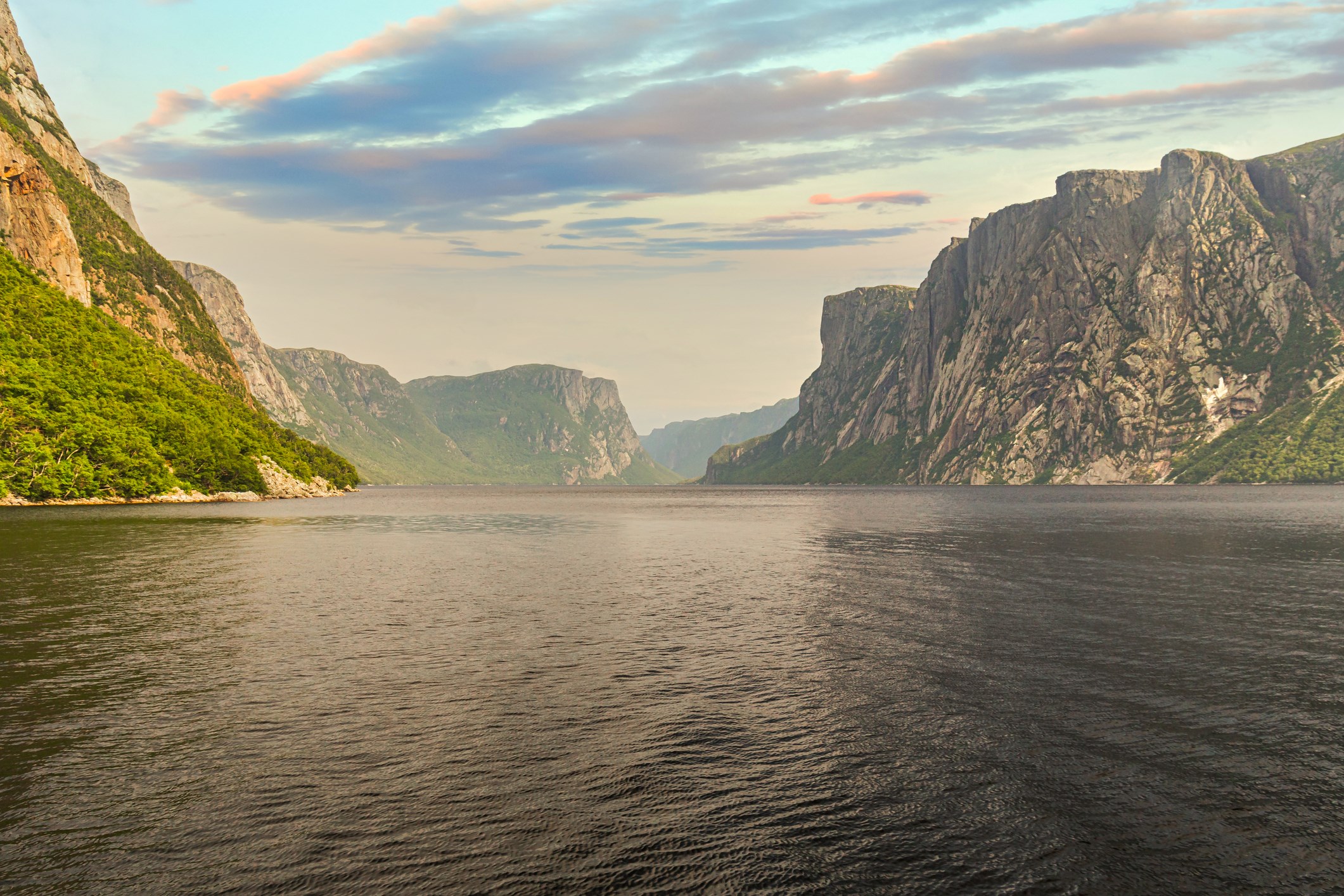
As you head north on Route 430, the most memorable stop in Gros Morne is Western Brook Pond, a landlocked fjord carved by glaciers between 25,000 and 10,000 years ago.
Calling it a “pond” doesn’t do it justice. Cliffs rise up to 2,000 feet straight from the water, and waterfalls cascade from the plateau above. No road actually reaches the shoreline, so getting there takes some effort, which adds to its appeal!
From the parking area, a flat 2.8-kilometer gravel trail (about a 45-minute walk each way) winds through the forest to the dock. From there, a two-hour boat tour cruises the fjord with live narration on its geology and history.
Boats run from mid-May to mid-October, and July and August tours often sell out days in advance, so book your Western Brook Pond boat tour online before you arrive.
Rocky Harbour, Cow Head, and the Road North
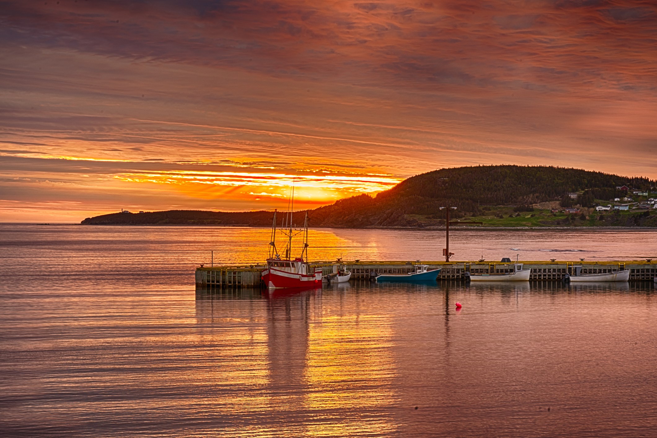
Less than 20 minutes from the Western Brook Pond parking lot, Rocky Harbour offers restaurants and lodging options. Just north of town, the Lobster Cove Head Lighthouse is worth a quick stop for its tide pools and coastal views, and the small marine research station at nearby Norris Point has a hands-on touch tank that entertains kids and adults alike.
Continuing north, the highway passes small fishing villages and the striking cliffs at Green Point, where researchers traced ancient trilobite fossils to matches in Spain and North Africa, providing early proof of plate tectonics. Nearby, the Broom Point fishing premises preserve a working saltbox operation just as one family left it.
Further on, in Cow Head, the rusted wreck of the S.S. Ethie still sits on the beach more than a century after it ran aground. The Long Range Mountains roll along one side the entire way, with the Gulf of St. Lawrence stretching out on the other.
Port au Choix
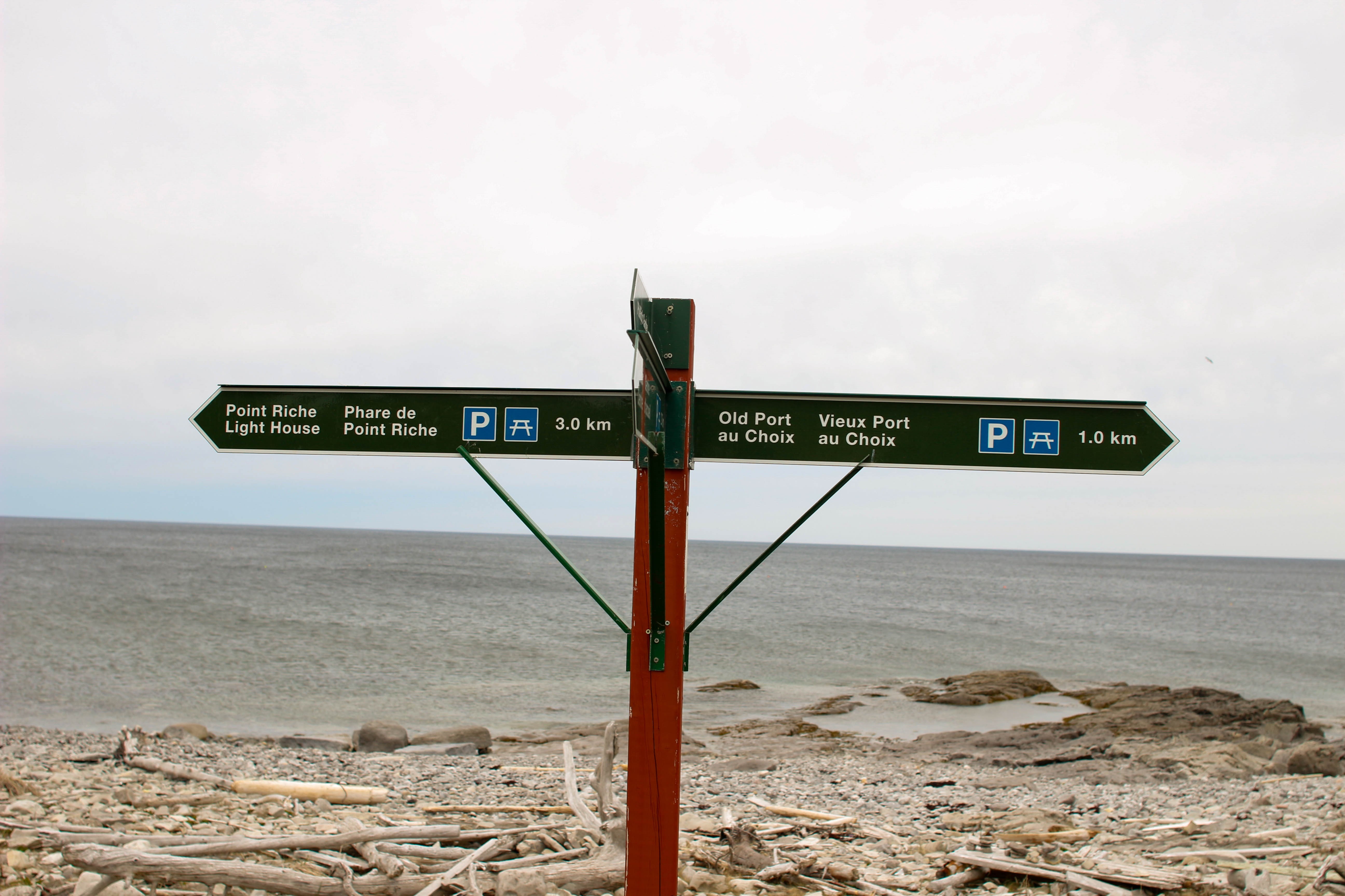
About halfway between Gros Morne and the northern tip of the peninsula, the Port au Choix National Historic Site shows that the Vikings were relative newcomers to this coastline. This came to light by accident in 1967 when a local resident digging for a movie theater foundation uncovered what turned out to be an ancient burial ground.
Archaeologists have since traced over 5,500 years of continuous habitation here, from the Maritime Archaic people to the Groswater and Dorset Palaeo-Eskimo cultures, all drawn by the same rich fishing grounds that still support the region today. Later, the Beothuk, the Indigenous people first encountered by European settlers, passed along the same shoreline, adding another layer to a site already ancient by the time the Vikings arrived.
The visitor center displays tools made from bone, antler, and slate, and short trails cross limestone barrens where fossils peek through the rock and caribou still graze.
Port au Choix is a quieter stop than Gros Morne and L’Anse aux Meadows, but it’s well worth the comparatively little time that it takes to explore.
St. Anthony and Iceberg Alley
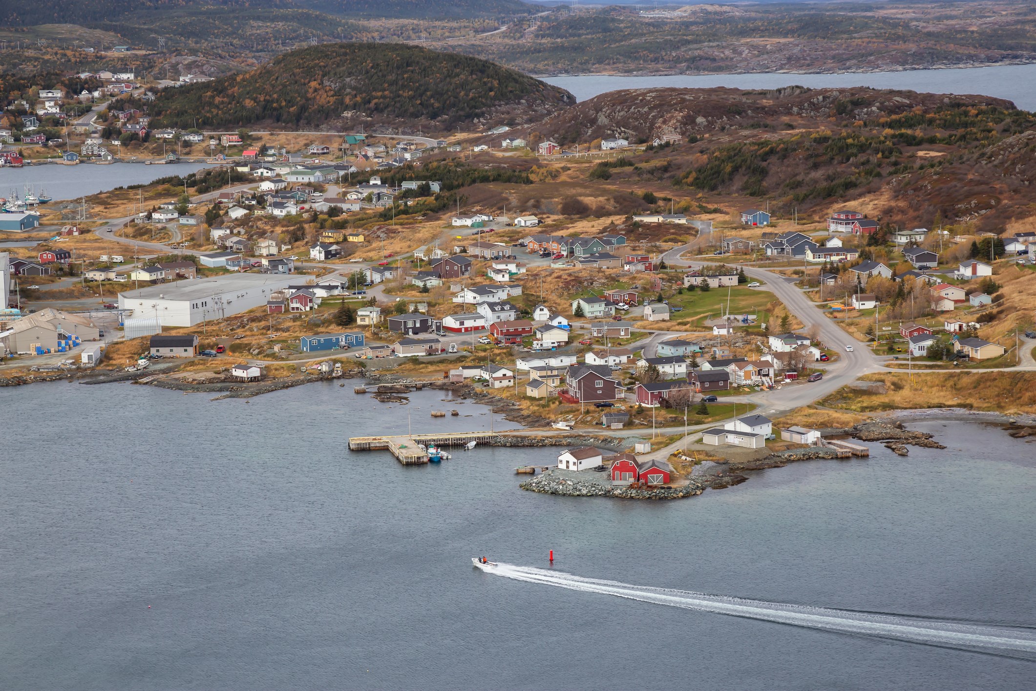
St. Anthony, the largest town on the peninsula, is about 40 kilometers south of L’Anse aux Meadows and makes a good overnight stop before heading north.
St. Anthony Harbor is also the best starting point for boat tours into Iceberg Alley, where centuries-old icebergs drift down from Greenland each spring. The best Newfoundland iceberg viewing usually happens from May to June, though a good year can stretch the season into July. The same tours often spot humpback and minke whales feeding just offshore, too.
St. Anthony also carries the legacy of Sir Wilfred Grenfell, a British doctor who set up hospitals and mission stations along this coast in the early 1900s. The Grenfell Historic Properties preserve that history for anyone curious about life here before modern roads connected these communities.
For dinner, ask for a window table at a harborside restaurant, order the local cod, and keep an eye out for icebergs and whales while you eat!
L’Anse aux Meadows
At the very tip of the peninsula, a final turn onto Route 430 takes you the last 29 kilometers to the reason this trail carries its name.
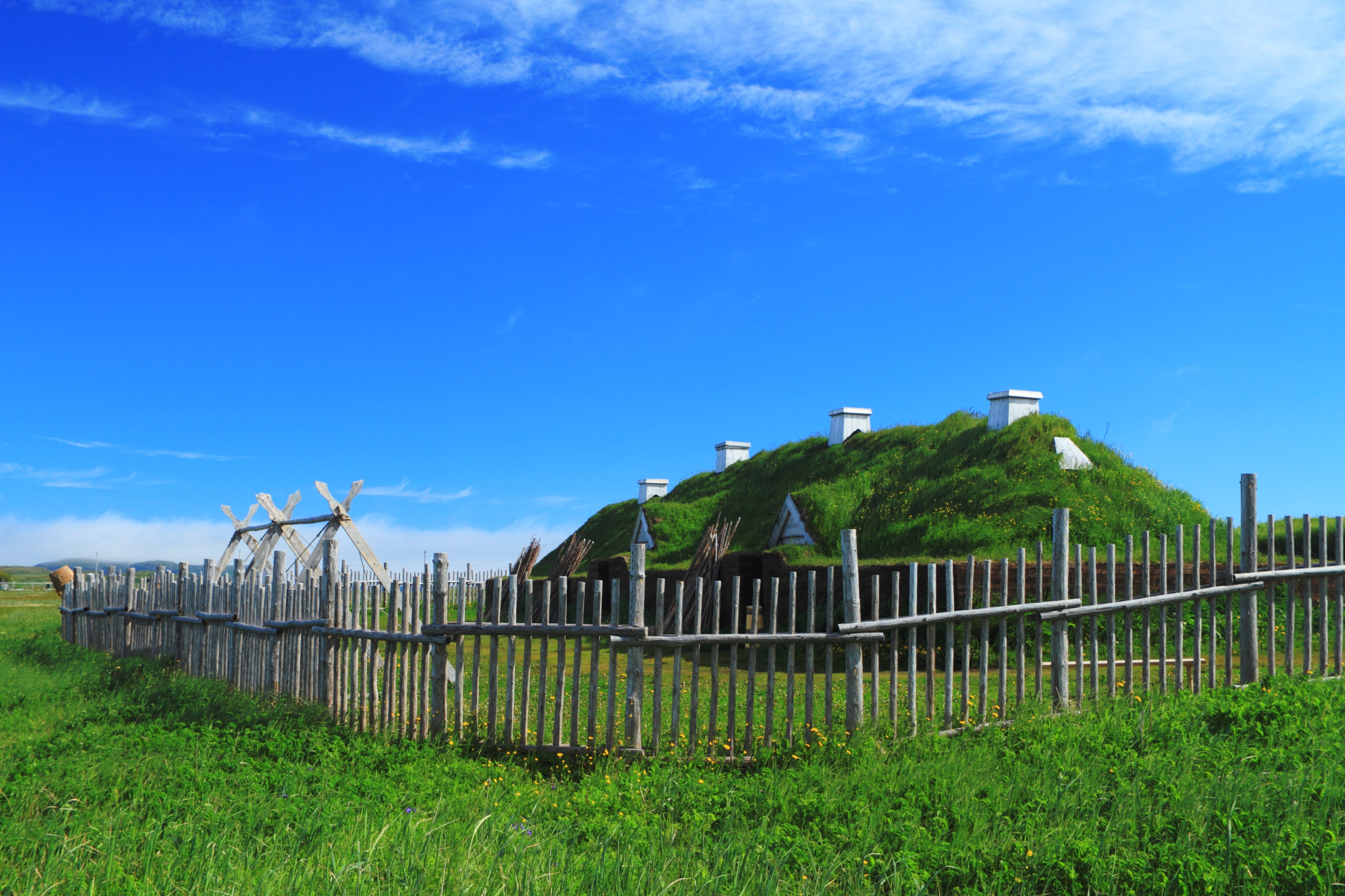
L’Anse aux Meadows National Historic Site is the only confirmed Norse settlement in North America. It was discovered by chance in 1960 by Norwegian archaeologists Helge and Anne Stine Ingstad, who were following the old Icelandic sagas of Leif Erikson and Erik the Red rather than any factual evidence.
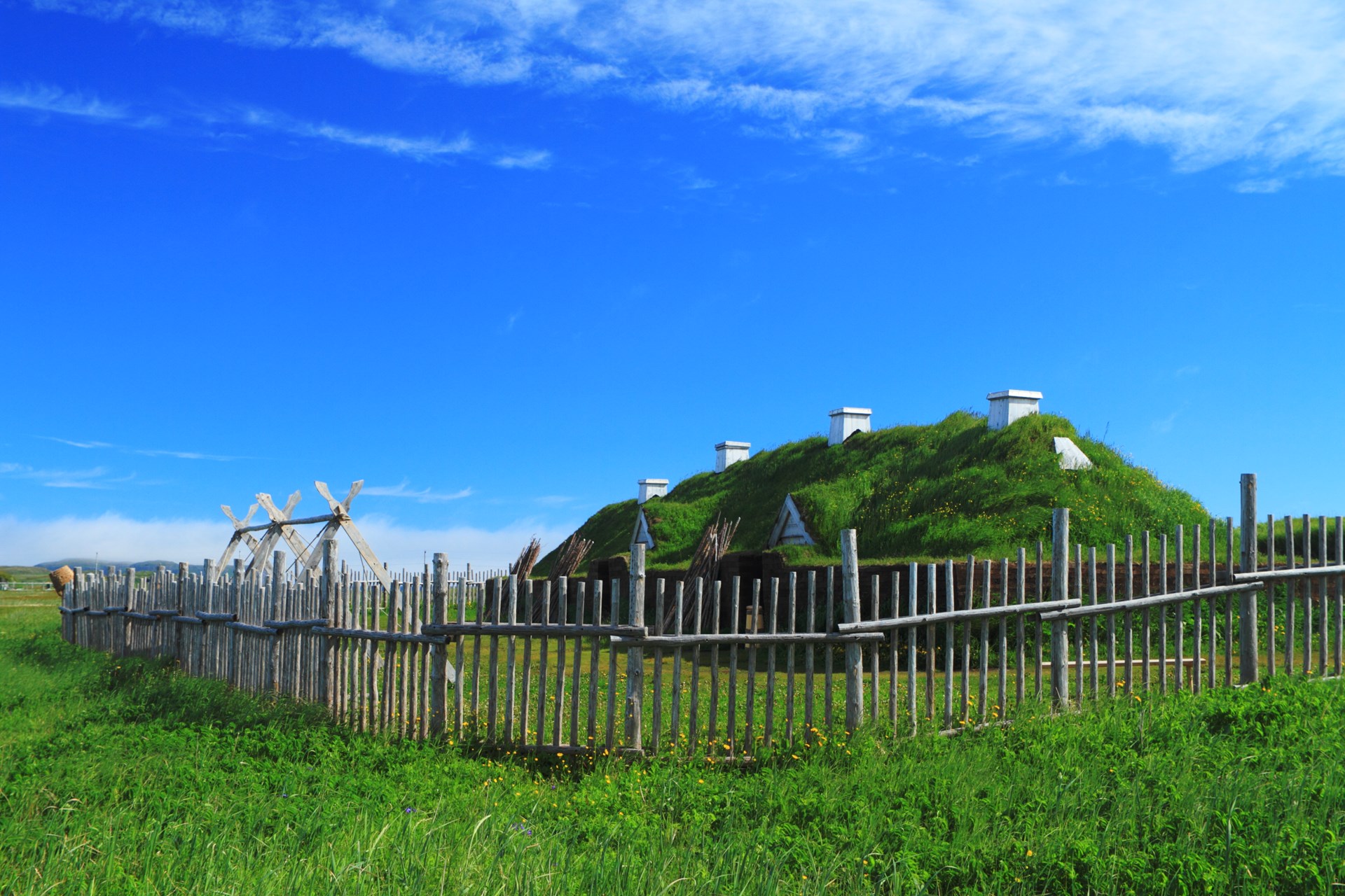
What they found was the sunken outline of eight timber-framed buildings, sod-walled and turf-roofed in the same style the Norse used back home, dated to around the year 1000. That’s about five hundred years before Columbus!
The original structures collapsed into peat bogs centuries ago, but Parks Canada has reconstructed several on the same footprints. Costumed interpreters demonstrate iron forging and wool spinning while explaining daily life for the small crew who camped here. Admission includes a well-made visitor center film and often a free guided walk with a local historian.
Plan for at least two hours here, more if the weather allows a walk along the coastline in hopes of catching sight of an iceberg floating by!
Norstead
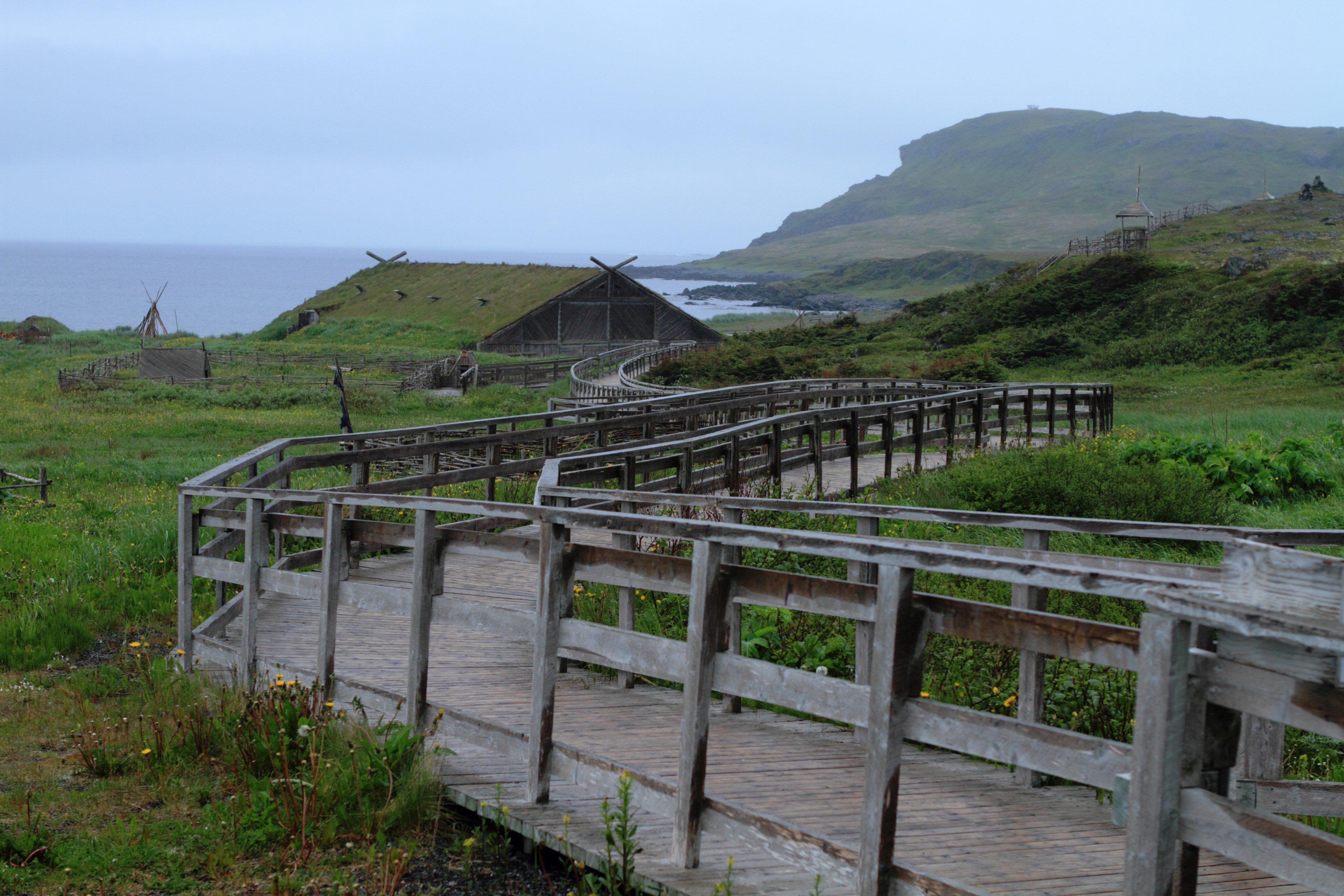
Just down the road from L’Anse aux Meadows, Norstead brings a Viking trading port to life with numerous hands-on experiences. Costumed staff teach axe throwing and traditional Norse games, show how to spin yarn and blacksmith, and let visitors sit in the chieftain’s chair with a drinking horn.
The highlight is Snorri, a full-scale replica Viking knarr named after Snorri Thorfinnsson, thought to be the first child of European descent born in North America. In 1998, a small crew sailed the real Snorri from Greenland to Newfoundland, navigating only by the sun and stars, retracing Leif Erikson’s route almost exactly a thousand years after the original journey.
From L’Anse aux Meadows to Norstead, a distance of about 1.6 kilometers, you can get a better understanding of Norse archaeology in North America than almost anywhere else outside Scandinavia. It helps explain why, a thousand years later, Norwegian soccer fans thought rowing together in Viking horns was the perfect way to cheer for their team.
Practical Tips Before You Roll Out
A drive this remote requires some preparation. From Newfoundland moose safety to shifting seasons and long stretches between gas stations, a few practical details make all the difference!
Be on the Lookout for Moose
Newfoundland has one of the highest moose densities in the world, with about 120,000 of them on an island roughly the size of Kentucky. Route 430 runs right through their prime habitat.
More than 70 percent of moose collisions happen between May and October, which overlaps with peak travel season on the Viking Trail. Try to avoid driving after dark if you can. If you have to, slow down, use your high beams when there’s no oncoming traffic, and keep an eye on both sides of the road.
If a moose is in your way, brake hard instead of swerving. Losing control of your vehicle is more dangerous than hitting the animal. If you do spot one near the highway, Newfoundland’s Moose Sightings Hotline (1-855-89-MOOSE) tracks reports and helps wildlife officials flag high-risk stretches for other drivers. Woodland caribou also roam the park’s higher, barren areas, but they’re much shyer and less of a driving risk.
Best Times to Go
From mid-June to early September, you’ll find the warmest weather and the most open services, boat tours, and campgrounds on the Viking Trail. However, it’s also the busiest time, so make sure to book the Western Brook Pond boat tour and any accommodations well in advance.
If you want to see icebergs, aim for late May through June, when the largest numbers usually drift by the coast, sometimes sticking around into July.
The shoulder season, especially September, offers fewer attractions but thinner crowds, cooler hiking weather, and often better rates.
No matter when you go, pack layers. The weather in coastal Newfoundland can change quickly, and fog off the Strait of Belle Isle can roll in unexpectedly, even in summer!
Passes, Petrol, Road Signs, and More
A Parks Canada pass covers admission to Gros Morne, but a separate ticket is needed for L’Anse aux Meadows. Buy both online ahead of time if you can. Cell service can be spotty between towns, so download offline maps before leaving Deer Lake and let someone know your general whereabouts.
Fill up your gas tank whenever you pass a petrol station, rather than waiting until you’re low –communities are sparse north of Port au Choix.
Most rigs under 35 feet can handle Route 430 without issues, since it’s well-paved and maintained, but some side roads to trailheads, ferries, and viewpoints can be narrower and sometimes switch to gravel.
Also, give yourself some extra time. Between boat tour bookings, weather-dependent hikes, and the temptation to stop at yet another cove, few travelers stick to their original plans out here.
A Thousand Years in the Making
Driving the Viking Trail in Newfoundland is the real deal. The sod houses at L’Anse aux Meadows, the replica ship at Norstead, and the actual coastline where Norse sailors camped and repaired their boats before heading back to Greenland all make an impression without needing a drumbeat or a stadium. Standing on the same ground they did, with the Gulf of St. Lawrence on one side and the Long Range Mountains on the other, speaks for itself. Ready to head out on your own Viking Trail adventure? Start planning your journey today!
Nearest KOA to the Viking Trail:
Gros Morne / Norris Point KOA Holiday

Leslie is a freelance travel and health/wellness writer who gets butterflies from telling stories and sharing information with readers across the globe. Her voice comes from a place filled with passion and dreams.
With over 10 years of experience in crafting words and years of embarking on travels that have taken this Montana girl to some incredible places, Leslie loves the adventures of both body and mind that her writing takes her on.
To see what Leslie’s up to in the writing and design world, visit her website here.