Your cart is empty!
Make checkout easy by booking all your reservations at once. Add your sites from different campgrounds into your shopping cart* and then choose checkout.


After a big snowfall, most of the park's day-hiking trails require snowshoes. However, after a few days of melt, and with continued use, the trails become so well packed and icy that snowshoes are no longer effective to provide traction and stable footing.
For much of the winter, the most popular trails are so icy that steep sections cannot be safely traversed without some sort of additional traction device for your hiking shoes or boots. Mountaineering crampons or other, lighter options which fasten over your winter footwear, like the one pictured here, work well. We recommend wearing these devices throughout the park, especially in parking lots and other paved areas to avoid injuries from slipping and falling.
Distance 6.5 miles
Elevation Gain 3600 ft
Route Type Out-and-Back
Description
A shaded trail to escape the summer heat and follows Joe Lott Creek.
The Joe Lott Trailhead starts at Castle Rock Campground and follows the Joe Lott Creek, which has tall old growth trees to provide shade in the summer. Joe Lott Trail #051 is an out-and-back, so you can go as far as you like and turn around. We went 1.5 miles and had to cross the river 3-times. At the third crossing, the creek was too wide to cross without getting wet, due to high runoff, so we turned around.
The Silver King Mine Interpretive Center is the terminus of the trail, which is approximately 6.5 miles from the trailhead, which starts at 6,200 feet in the Castle Rock Campground and finishes at 9,800 feet in elevation located in Sevier Utah, only 40 miles from Beaver Journey KOA.
Distance 0.25 miles
Elevation Gain 200 ft
Route Type Out-and-Back
Stunning slot canyons and formations a short walk from your campsite!
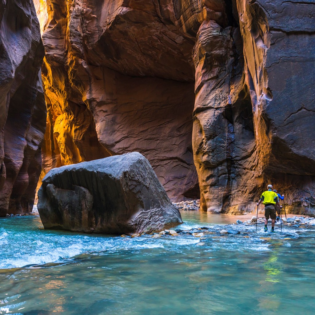
Surrounding the Castle Rock Campground on the East and West sides are slot formations that have formed over centuries by wind and rain as it erodes softer earth from the harder rock. There are no designated trails, but footpaths are visible, follow them up and start exploring. Located in Sevier, Utah, only 40 miles from Beaver Journey KOA.
Distance 3.0 miles
Elevation Gain 1,650 ft
Route Type Out-and-Back
Experience this 3.0-mile out-and-back trail near Beaver, Utah. Generally considered a challenging route, it takes an average of 2 h 35 min to complete. This trail is great for hiking, and it's unlikely you'll encounter many other people while exploring. The best times to visit this trail are May through October. Dogs are welcome and may be off-leash in some areas.
Distance 4.5 miles
Elevation Gain 288 ft
Route Type Loop
Head out on this 4.5-mile loop trail near Beaver, Utah. Generally considered a moderately challenging route, it takes an average of 1 h 35 min to complete. This trail is great for hiking and mountain biking, and it's unlikely you'll encounter many other people while exploring. The best times to visit this trail are March through October. Dogs are welcome, but must be on a leash; this is a 4.7 mile drive from Beaver Journey KOA.
That doesn't mean this area has to always be empty. When you start reviewing camping options, your history will display here to help compare sites and find the best stay. You will be able to share your stay information with friends or family and save it for a later time if you have a KOA Account.
Make checkout easy by booking all your reservations at once. Add your sites from different campgrounds into your shopping cart* and then choose checkout.