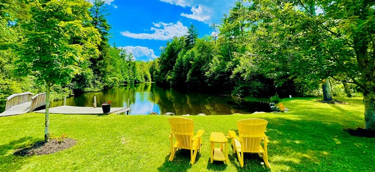
Nearby World Class Hiking, & The Famous Appalachian Trail!
Appalachian Trail Hanover, New Hampshire
Velvet Rocks Trailhead
http://www.dartmouth.edu/~doc/hiking/velvetrocks/
Precipice Trail
(Mt. Tom) - Woodstock, VermontTotal Distance: 2.5 Miles
Hiking Time: 2.0 Hours
Vertical Rise: 1340 ft.
Rating: Moderate-Difficult
From Woodstock town center, cross the Mountain Avenue covered bridge past River Street following around a left curve to the prominent rock wall where you turn left up a paved path that leads to the trail head at Faulkner Park.
The trail leads to the 1,340 foot summit overlooking the village of Woodstock, the Billings Farm and the Ottauquechee River. Your return hike follows the same trail back to the parking area.
Mount Peg Trail (Mt. Peg) - Woodstock, Vermont
Total Distance: 2.0 Miles
Hiking Time: 2.0 Hours
Vertical Rise: 1200 ft.
Rating: Moderate-Difficult
From the Woodstock Village Green, take Cross Street to High Street and turn right going over the bridge where you turn right again onto Golf Avenue. A sign on the left marks the trial head consisting of a system of groomed ski trails leading from an open field on the northern hill to benches where you can view Mount Tom across the valley and take in some of the best views of Woodstock Village. Your return hike follows the same trail back to the parking area.
Mount Tom Trail (Mt. Tom) - Woodstock, Vermont
Total Distance:
Hiking Time: 30 minutes
Vertical Rise: .1250 feet
Rating:
Access the trails at the Marsh-Billings-Rockefeller National Historic Site on Route 12, north of Woodstock village. The historic carriage trails lead to a loop of the Pogue, a 14-acre pond on top of Mount Tom. The climb is gradual and beautiful.
Mount Tom dominates the center of Woodstock. It's 1,250'. If you are fit, it will take you about 30 minutes to reach the top. It is well worth the trip.
There are two ways up, an easy way from behind the mountain, and faster one from the center of town.
The easy and longer way is to drive out of Woodstock on Route 4 and turn right just after the Woodstock Farmer's Market. Follow the road up and over a hill and you will come to a parking lot on your right.
The fastest way is to set out from the park on Mountain Avenue, behind the covered bridge. The ascent will take about 30 minutes depending on your level of fitness. The climb is easy and well worn. Near the summit, the going gets a little tricky but there is a guide wire to hold on to as you negotiate your way over some rocks. Wear a good pair of boots.
Once you are on the summit, you will see most of the village laid out before you.
Blow Me Down Trail - Cornish, N.H.
Total Distance: 2 miles
Hiking Time:
Vertical Rise: .
Rating:
The trail head is in the lower field past the temple altar that holds the ashes of the artist. The two-mile trail ends at a pond. Admission to the historic site ($5 over age 16) is required to access the trail.
Blow-Me-Down Trail (1.5 miles). the Blow-Me-Down Trail offers glimpses of the Blow-Me-Down Brook and the Mill and Pond. From this trail a variety of wildlife can be seen; a single hike can bring sightings of Eastern Newts, Beavers, White-tailed Deer, Common Garter Snakes, Mink, and numerous bird species. In all there are over 200 species of birds, mammals, reptiles, amphibians, and fish found at Saint-Gaudens NHS.
Gile Mountain - Norwich, Vermont
This 30-minute hike also provides perhaps the least challenging ascent to panoramic views of area. To access the trail head, follow Turnpike road for about 6 miles from Norwich village. The trail head is on the left, marked by a sign.
Northern Rail Trail - Lebanon, N. H.
Former rail line offers a pleasant, relatively flat gravel and dirt trail surface that runs 2.3 miles from Lebanon to Grafton, N. H. There are multiple access points, including three in Lebanon and more along the Mascoma Lake in Enfield. The trail is open to cyclists, pedestrians and horses.
Brownsville Trail (Mt. Ascutney), Windsor, Vermont
Total Distance: 6.4 Miles
Hiking Time: 5.0 Hours
Vertical Rise: 2400 ft.
Rating: Moderate
Climb to the top of 3100 foot monadnock (standalone mountain), a popular launch site for hang gliders. Two challenging trails offer excellent views.
In Ascutney State Park
From Windsor follow Route 44 toward Brownsville. The trailhead parking area is located on the South side of Rt. 44 approximately 2 miles past the I-91 overpass.
The trial is well-marked and passes an old granite quarry with stone hut remains, and a short spur trail offering good Northern views.
A moderate grade extends to the lookout tower and the grassy summit of the North Peak with fine views of the valley and distant mountain range. Your return hike follows the same trail back to the parking area.